WhatsApp, Viber, Telegram
+977 9851100459
.jpg)
Apr 07
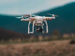
Is Drone Photography Allowed in the Annapurna Region?
Flying a drone in Nepal requires understanding a few rules. The Annapurna Conservation Area (ACAP) and the Civil Aviation Authority of Nepal (CAAN) regulate drone use to protect the environment and local communities.
You’ll need two key permissions:
- ACAP Drone Permit – Usually obtained through the Nepal Tourism Board or your trekking agency.
- CAA Nepal Authorization – Required for drones above a certain weight or when flying in national park areas.
It’s best to coordinate with your local trekking agency or guide, as they can help with the paperwork and ensure you follow the current rules. Flying without permission can result in fines or confiscation.
Remember: rules are not to restrict creativity but to ensure safety and respect for nature and people living along the trail.
Regulations and Compliance Guidelines for Operating Drones in the Annapurna Circuit Trek
Before you launch your drone into the Himalayan sky, you need to understand Nepal’s drone compliance system. Operating legally keeps your trek stress-free and your footage safe from legal issues.
Drone Registration: Get Your Unique Identification Number (UIN)
Every drone must be registered with the Civil Aviation Authority of Nepal (CAAN) to get a Unique Identification Number (UIN).
Steps to register your drone:
- Submit your drone details — model, serial number and weight.
- Provide passport, visa and trekking itinerary.
- Wait for CAAN verification and issuance of UIN.
- Display the UIN clearly on your drone body.
This ensures accountability and legal recognition for foreign and local operators alike.
Guidelines for Flying Drones in the Annapurna Circuit Trek
Follow these essential safety and operational guidelines:
- Fly below 120 meters (400 feet) from ground level.
- Keep your drone within visual line of sight (VLOS) at all times.
- Maintain at least 50 meters distance from people, homes and animals.
- Operate only in daylight and clear weather.
- Avoid flying over villages, schools or monasteries without consent.
Registration and Permit for Drone
You’ll need two permits to fly your drone legally in the Annapurna region:
- Drone Operation Permit from the Civil Aviation Authority of Nepal (CAAN).
- Drone Filming Permission from the Annapurna Conservation Area Project (ACAP).
These documents confirm your compliance with aviation and conservation laws. Your local trekking company can help you with them before your trip.
Required Documents for Temporary License
Foreign visitors planning to fly drones temporarily need to provide:
- Passport and visa copies.
- Drone details (model, serial number, weight).
- Purpose of use (e.g. photography, personal use).
- Trekking itinerary.
- Letter from a registered trekking agency.
- A No-Objection Certificate (NOC) from local authorities.
Submit these in advance to avoid delays during your trek.
Laws for Flying Drones in the Annapurna Circuit Trek
Nepal’s drone laws are strict to maintain safety and privacy:
- Unauthorized use can lead to drone confiscation and fines.
- Flying near Jomsom Airport or military bases is strictly prohibited.
- Commercial filming requires separate approval from the Ministry of Information and Communications.
- Pilots must present permits when asked by ACAP or local officers.
Additional Rules for Foreign Drone Users
- Declare drones at customs upon arrival in Nepal.
- Obtain filming clearance if commercial footage.
- Operate under supervision of a registered local guide or drone operator.
- Maintain drone insurance for damage or liability.
Restricted Areas
- Jomsom Airport and surrounding flight paths.
- Muktinath Temple complex.
- Military or police checkpoints.
- Wildlife conservation zones in Annapurna region.
Things to Consider
- Altitude effects: High elevation reduces lift and battery performance, keep flights short.
- Battery care: Store batteries warm inside your jacket to prevent freezing.
- Privacy: Always ask permission before filming locals.
- Backup storage: Carry extra SD cards and hard drives since Wi-Fi is limited.
- Emergency readiness: Bring propeller guards and check GPS before takeoff.
The Dos – How to Fly Responsibly and Get Great Shots
Get Proper Permissions and Stay Legal
Carry your drone permits and ID while trekking. Local checkpoints may ask for proof of authorization. Following the legal route protects you and sets an example for other travelers.
Fly Safely in High Altitudes and Windy Conditions
Fly in stable weather, keep line of sight, and avoid strong winds around passes like Thorong La. Land immediately if you lose GPS signal.
Respect Local Communities and Cultural Sites
Villagers along the Annapurna route are friendly but value privacy. Always ask before flying near homes, schools or monasteries. Avoid filming prayer rituals or ceremonies without consent.
Best Practices for Ethical Drone Use on Trekking Trails
Keep a low noise profile, keep distance from trekkers and never fly over resting areas. Your goal should be to capture beauty, not to disrupt it.
The Don’ts – Mistakes to Avoid When Flying Drones
Areas Where Drones Are Strictly Prohibited
Avoid restricted zones such as Jomsom Airport, military camps, or certain sections of Muktinath Temple. Flying near these sites can lead to penalties.
Avoid Disturbing Wildlife and Monasteries
The Himalayas are home to blue sheep, snow leopards, and birds of prey. Keep your drone away from animals and sacred sites, both deserve peace and quiet.
Don’t Fly in Poor Weather or Crowded Villages
Mountain weather changes quickly. Rain, fog, or strong wind can damage your drone or cause crashes. Also, never fly directly over groups of people, especially in narrow village paths.
Data Protection and Privacy Awareness While Filming Locals
Treat every subject with respect. If you plan to publish your footage online, avoid using identifiable close-ups of locals without permission.
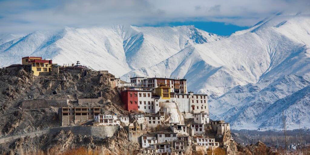
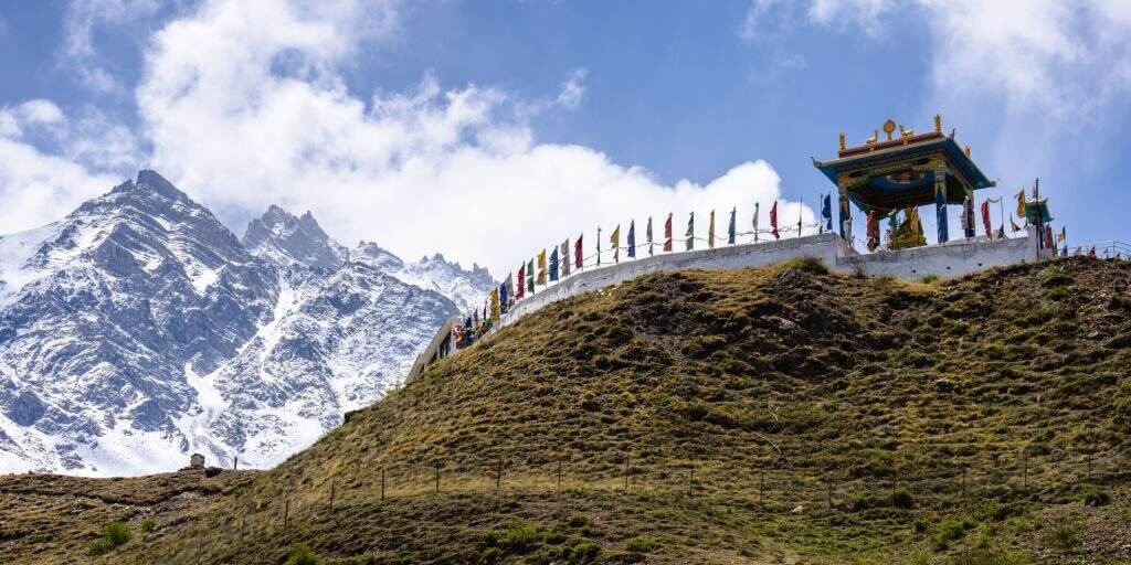
Best Places to Fly Your Drone on the Annapurna Circuit Trek
Tilicho Lake – The Highest Altitude Lake in the World
Manang Valley – Golden Hour Heaven
Thorong La Pass – Snow and Sky
Muktinath & Kagbeni – Desert Meets the Himalayas
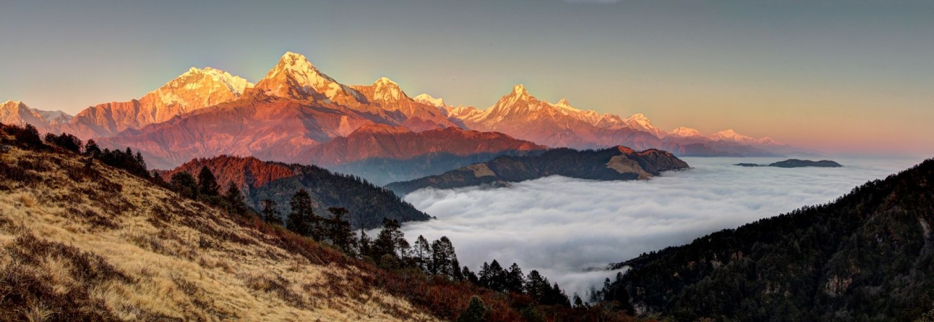
Poon Hill – Sunrise over the Annapurna Range
For time-lapses or panoramas, Poon Hill at dawn delivers the best views of Annapurna I, Dhaulagiri and Machhapuchhre.
Pro Tips
- Time it right: Morning and evening light is best.
- Battery care: Cold weather drains power fast. Keep batteries warm until flight.
- Smart settings: Manual exposure for snow, white balance to avoid glare.
- Lightweight: DJI Mini series is perfect for the trek, compact and easy to charge in teahouses.
Conclusion:
Flying a drone on the Annapurna Circuit Trek is a whole new way to see Nepal. The mountains, villages and trails come alive when viewed from above.
But remember: the best pilots are those who fly aware, respect people, nature and culture. Capture the Himalayas, tell your story, leave nothing behind.
More Blogs
Jan 31
Places to Visit in Mustang on a Budget
Are you looking for Places to visit in Mustang? Don’t worry you will find it here! Mustang is an incredibly unique and beautiful regi..
Feb 02
Best Time to Visit Mustang Nepal on 2024
Best time to visit mustang Nepal is during the spring March to May) and autumn (September to November) seasons. But why? You will know ..
Feb 07
Is Nepal safe for female travelers?
Is Nepal safe for female travelers? Obviously Yes !!. In the United States, 65% of women travel alone, according to a Booking.com surv..